Continuous monitoring for the reopening of a road section affected by a landslide event
Issue
A landslide interrupted an important provincial road connecting villages and places of great tourist interest. For the reopening of this stretch, continuous monitoring is necessary to ensure control of the unstable slope.
Solution
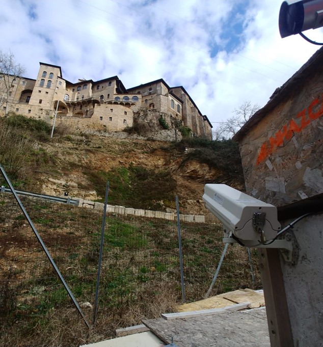
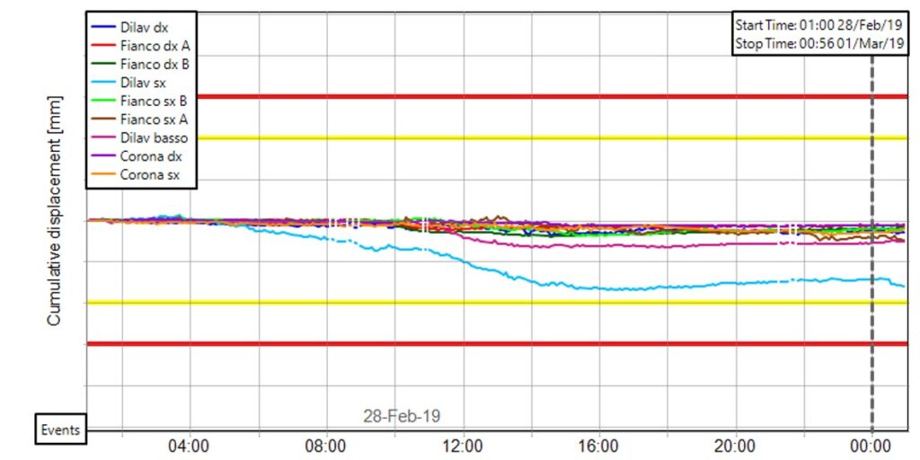
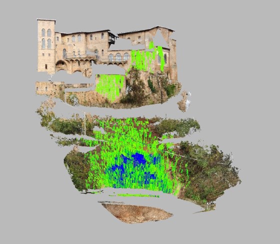
In the framework of the monitoring campaign, a number of activities were carried out using different Remote Sensing techniques. In the first phase of the emergency, a multi-temporal survey was carried out using a Terrestrial Laser Scanner for 3D modelling and to identify the main unstable sectors of the slope. A Terrestrial SAR Interferometer (TInSAR) was also installed for continuous monitoring (24h/24h) of the movements of the slope under investigation.
In order to further deepen the knowledge of the investigated area, an analysis of historical deformations was carried out by means of Satellite SAR Interferometry. Finally, long-term monitoring was performed by means of multi-temporal analysis of optical images acquired at 10-minute intervals (Photomonitoring).
Achievement
The continuous monitoring, carried out through the use of different techniques in the field of Remote Sensing, has allowed the detection of the main unstable sectors and the control of the evolution of the slope over time, assuring the reopening of the road section.